Services
We excel in instigating and overseeing business ventures in Oman and the Middle East. Connecting our broad network, covering both local and international spheres, we deliver top-notch services tailored to your precise needs. Our team adeptly streamlines processes and collaborates with industry policymakers to secure the legitimacy and triumph of your business endeavors.
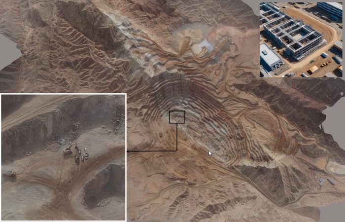
Construction and Infrastructure
Aerial mapping assists in infrastructure planning, construction site monitoring, and assessing the condition of roads, bridges, and utilities.
Reduction in time and labor:
- A 2019 study by the University of Florida found that using drones for progress monitoring in a large airport expansion project saved 64% of the time and 50% of the labor costs compared to traditional methods. J. Siebert, R. Teizer, J.P. Caldas, R.A. Grote, T.G. Hastak, "Analysis of UAV-based construction progress monitoring: A case study", Journal of Construction Engineering and Management, 2019, 145(7): 04019022.
- A study published in the "Journal of Civil Engineering and Management" found that using drones for construction inspection and monitoring can lead to cost savings ranging from 50% to 70% compared to traditional methods. (Reference: "The Use of Unmanned Aerial Vehicles in Construction," Journal of Civil Engineering and Management, Volume 21, 2015 - DOI: 10.3846/13923730.2014.893407).
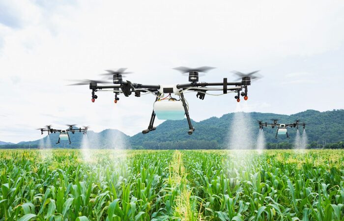
Precision Farming
Precision Farming and Agricultural Application.
- Crop Monitoring: Drones monitor crop growth and identify areas requiring attention, such as water stress or nutrient deficiencies.
- Field Mapping: Drones create detailed maps of farmland, enabling farmers to optimize planting patterns and manage field boundaries effectively.
- Pest Detection: Drones detect pests and diseases early, allowing farmers to take timely preventive measures and minimize crop damage.
- Yield Estimation: By analyzing crop data collected by drones, farmers can estimate yields more accurately, aiding in production planning and forecasting.
- Remote Sensing & Data Analysis: Drones equipped with cameras and sensors capture high-resolution imagery of farmland. Advanced analytics processes the collected data to provide insights into crop health, soil conditions, and pest infestations. Farmers use the analyzed data to make informed decisions about irrigation, fertilization, and pest management.
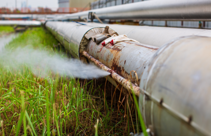
Gas Pipeline
Gas pipeline leakage detection and Visual Oil pipeline inspection.
Gas Pipeline Leakage Detection:
- Aerial Survey with Specialized Sensors: Conduct comprehensive aerial surveys using drones equipped with advanced sensors tailored for gas detection.
- Thermal Imaging Analysis: Utilize thermal imaging to detect temperature anomalies indicative of gas leaks along the pipeline route.
- Gas Sensor Deployment: Deploy drones equipped with gas sensors capable of detecting methane and other gas emissions associated with leaks.
- Data Analysis and Reporting: Analyze collected data to pinpoint leak locations and assess severity, providing actionable insights for rapid response and repair.